What, where, Hoo
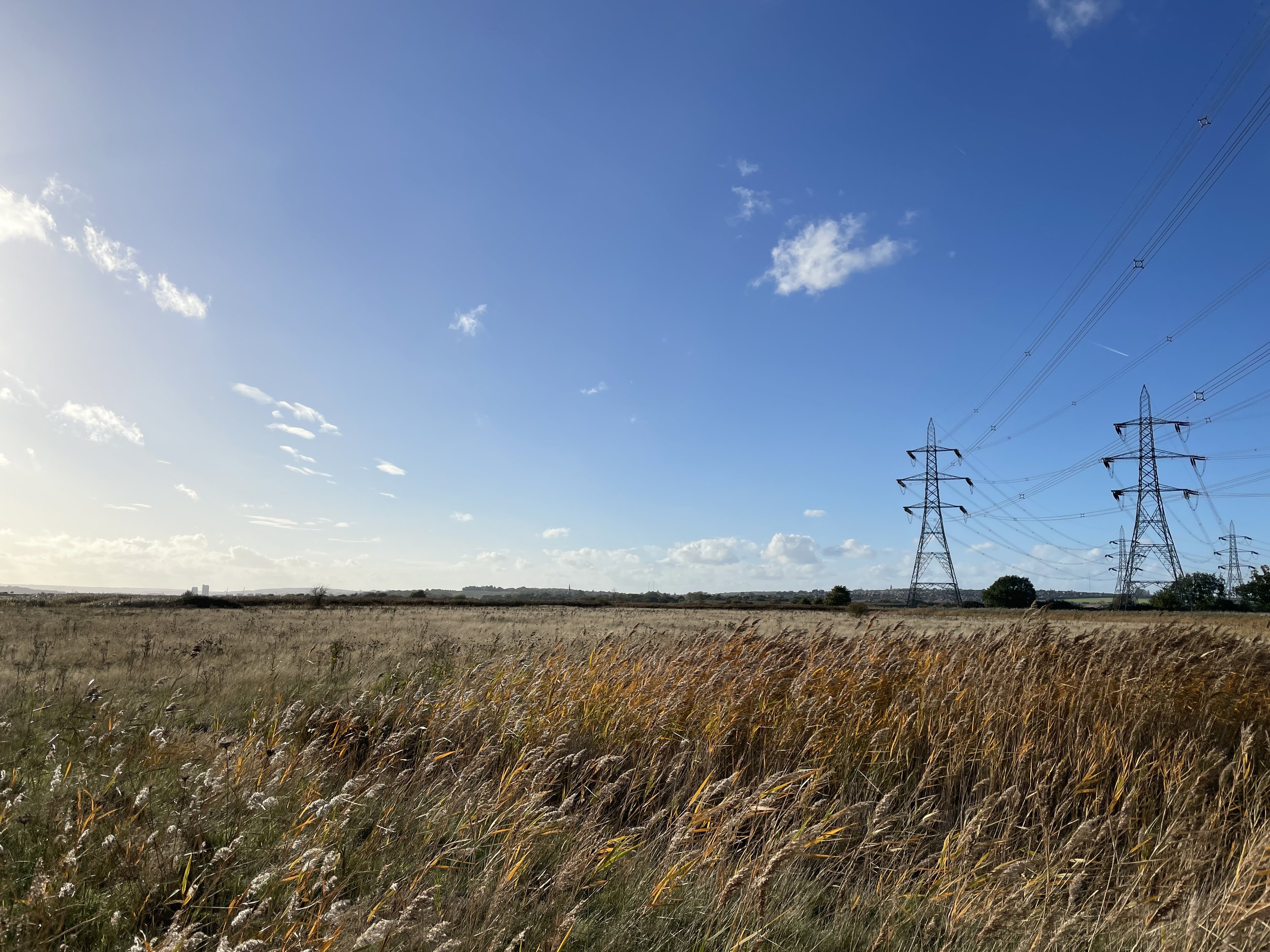
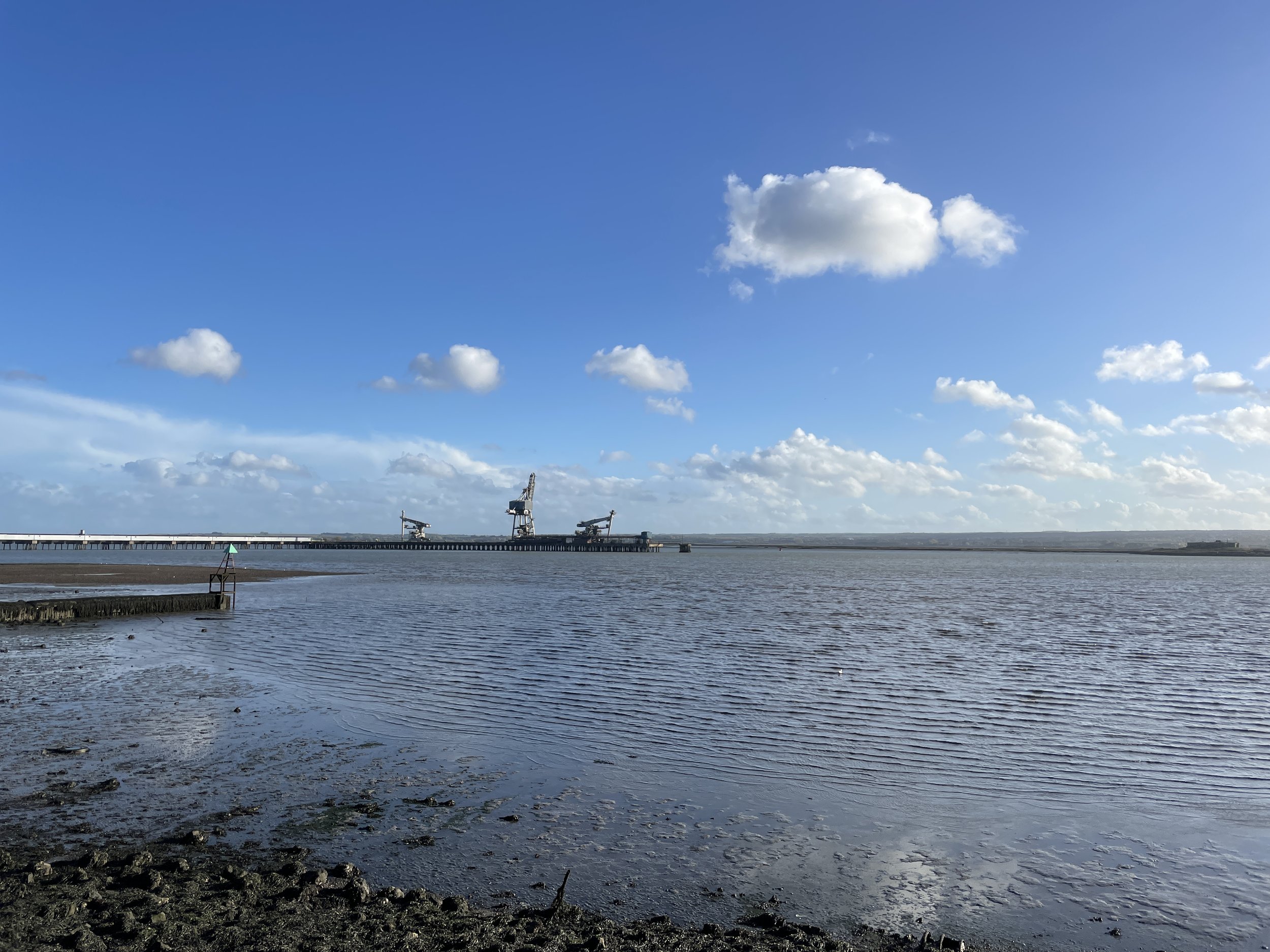
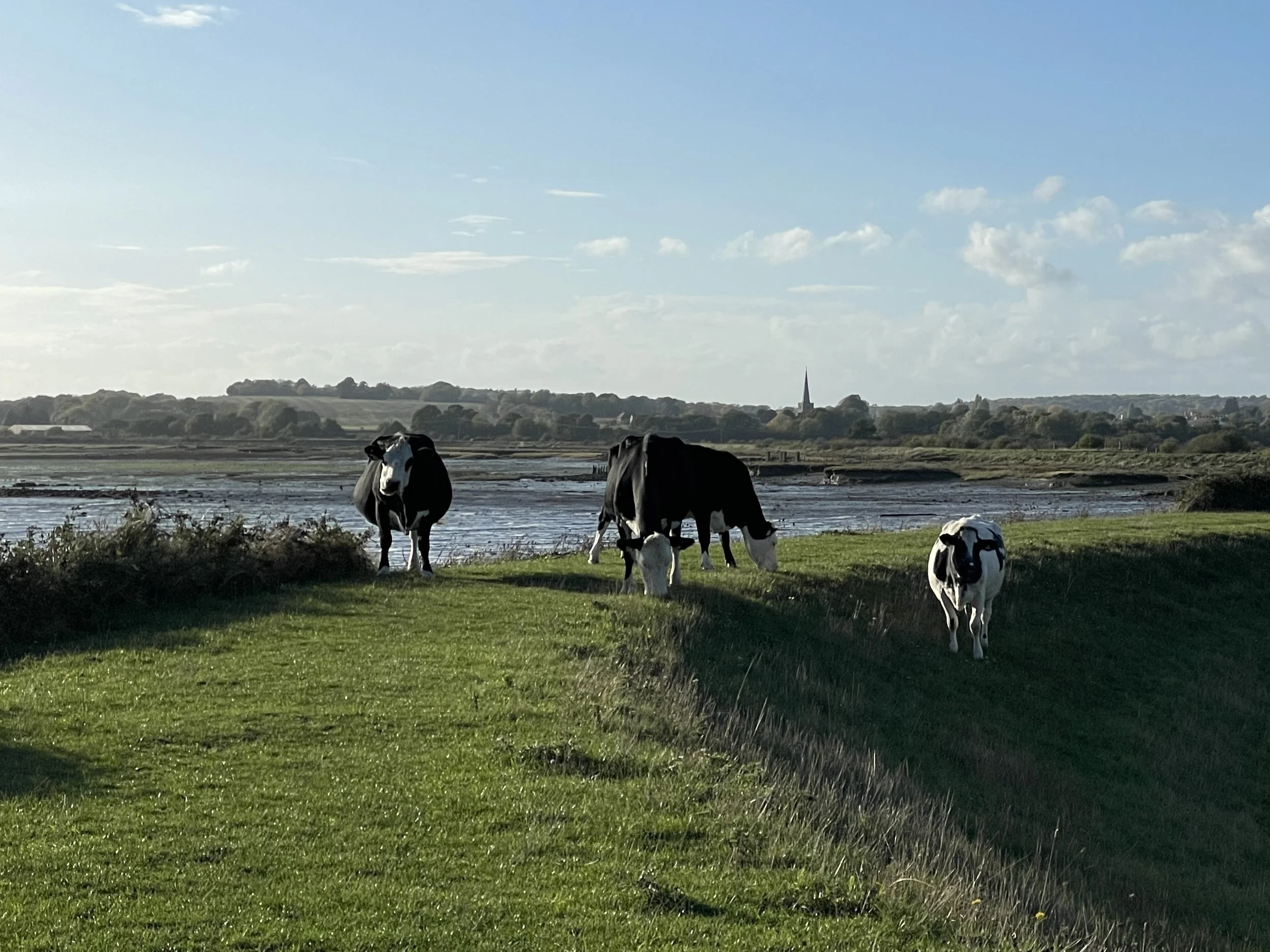
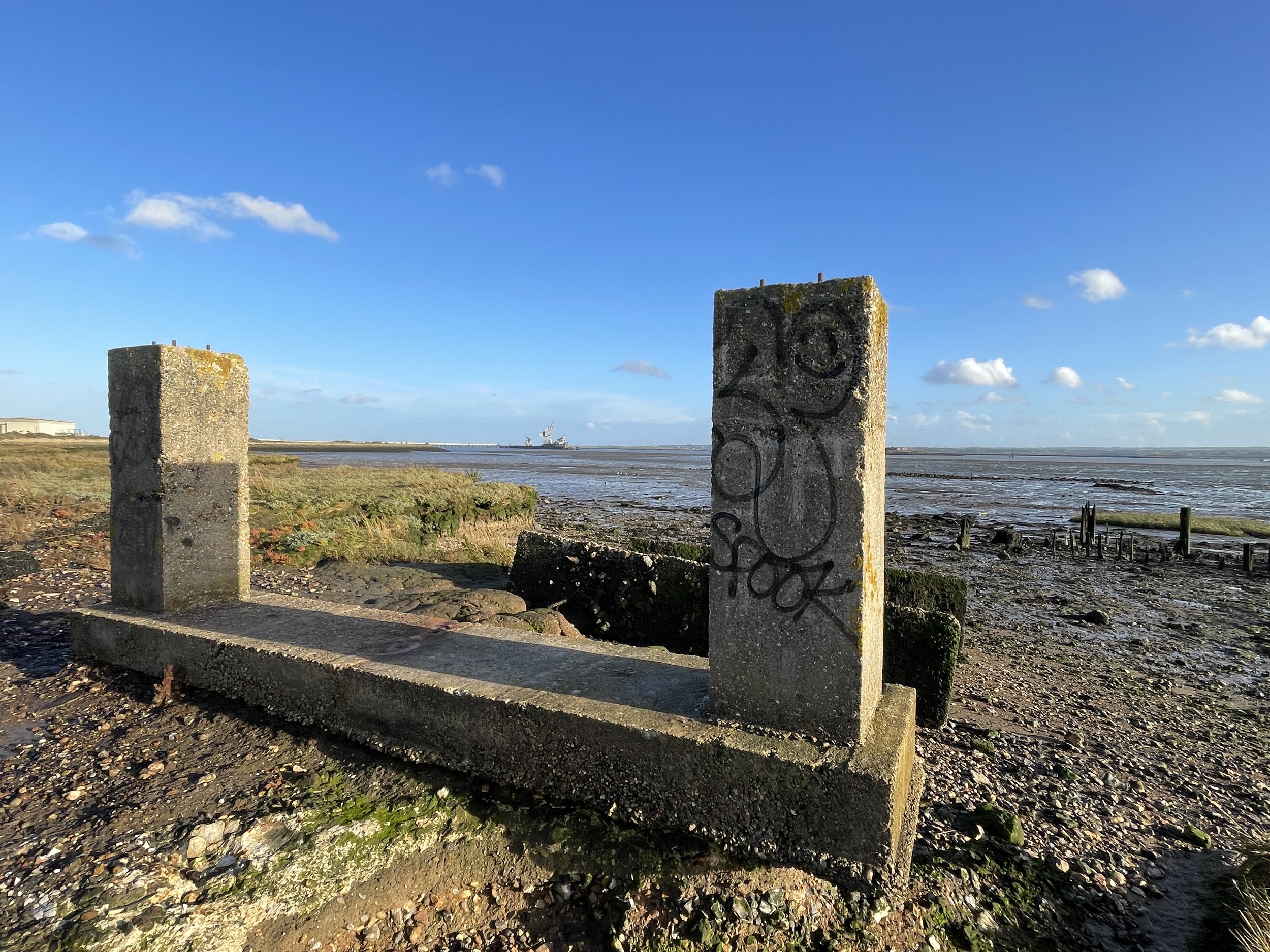
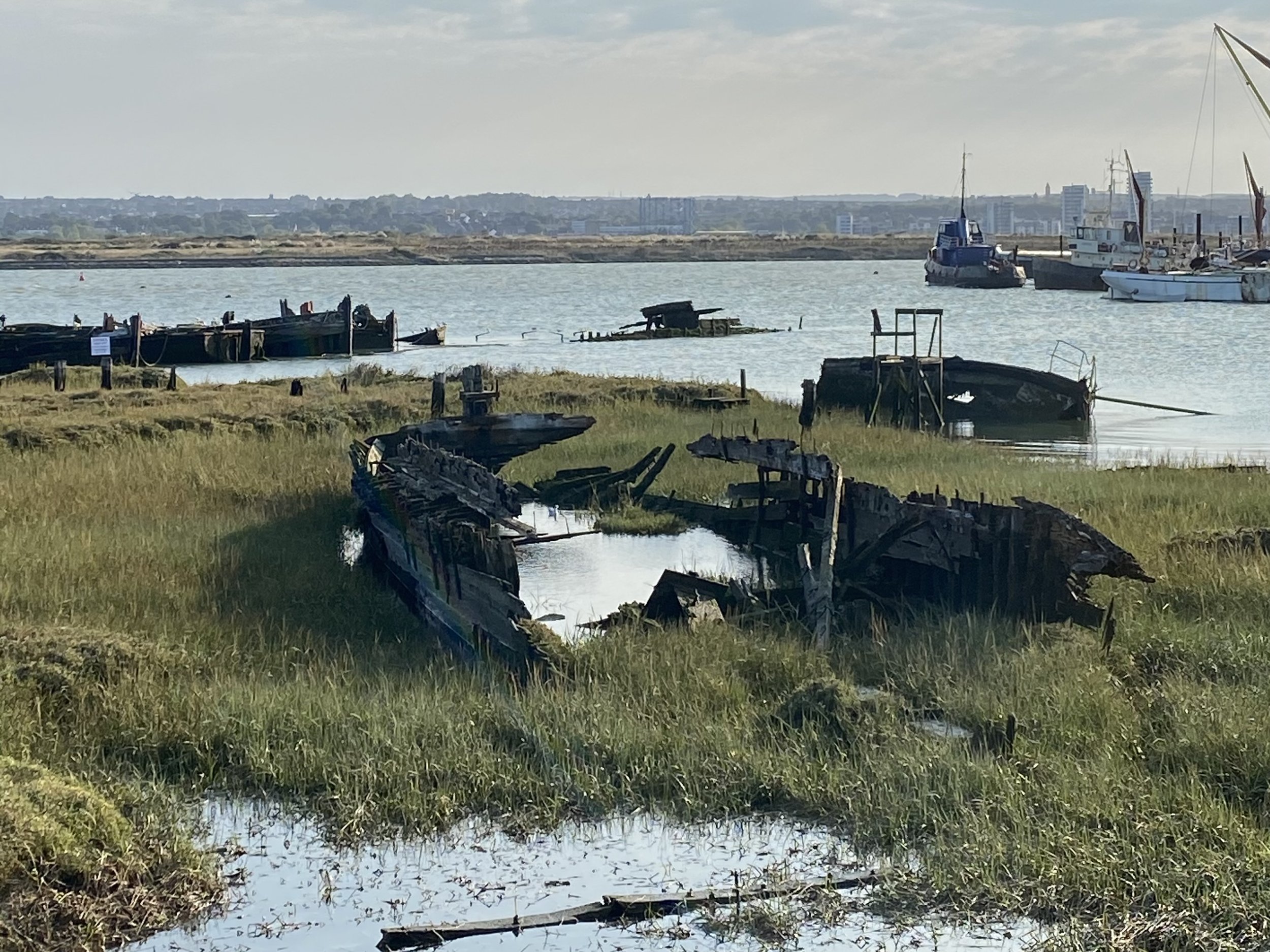
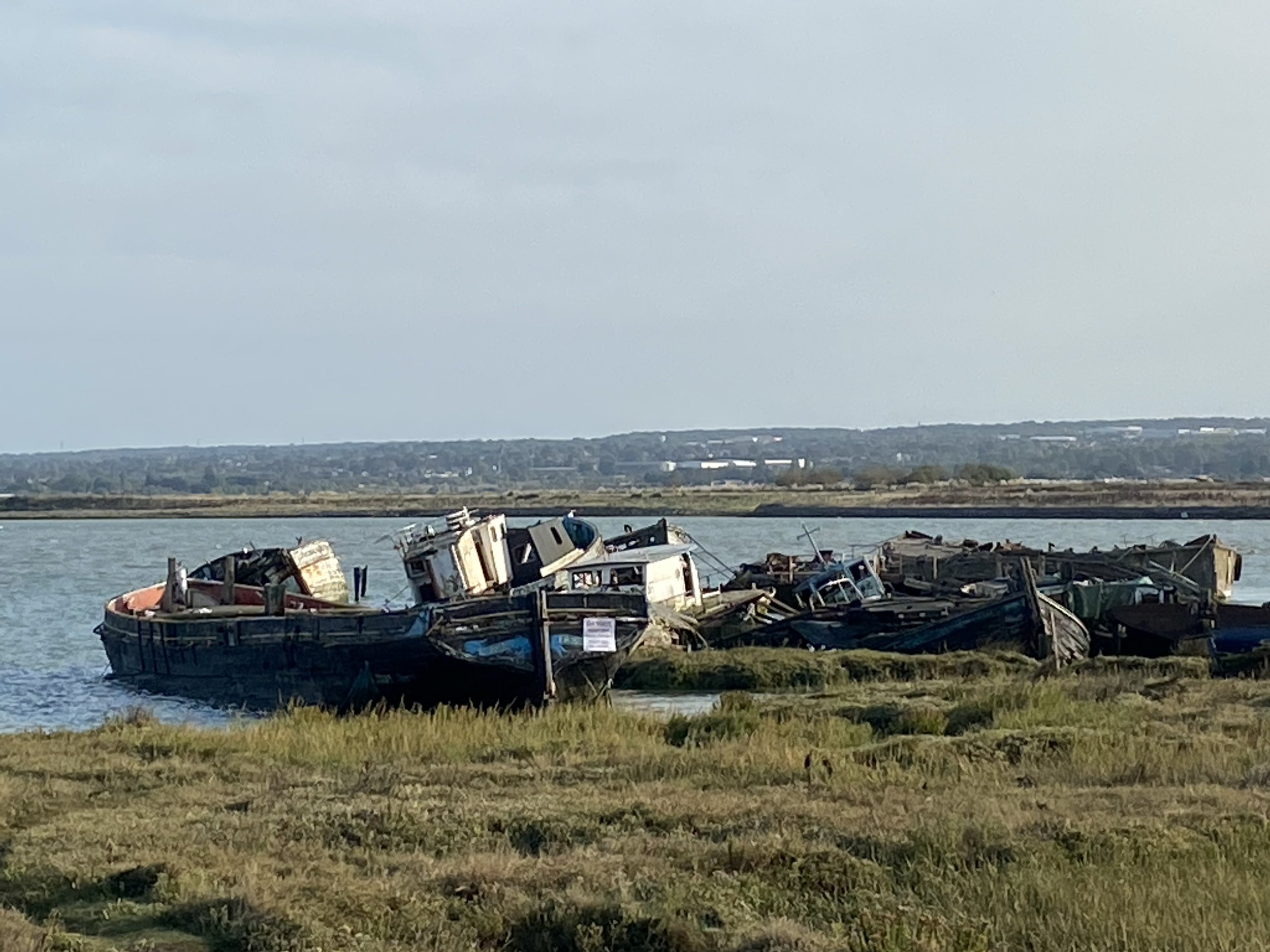
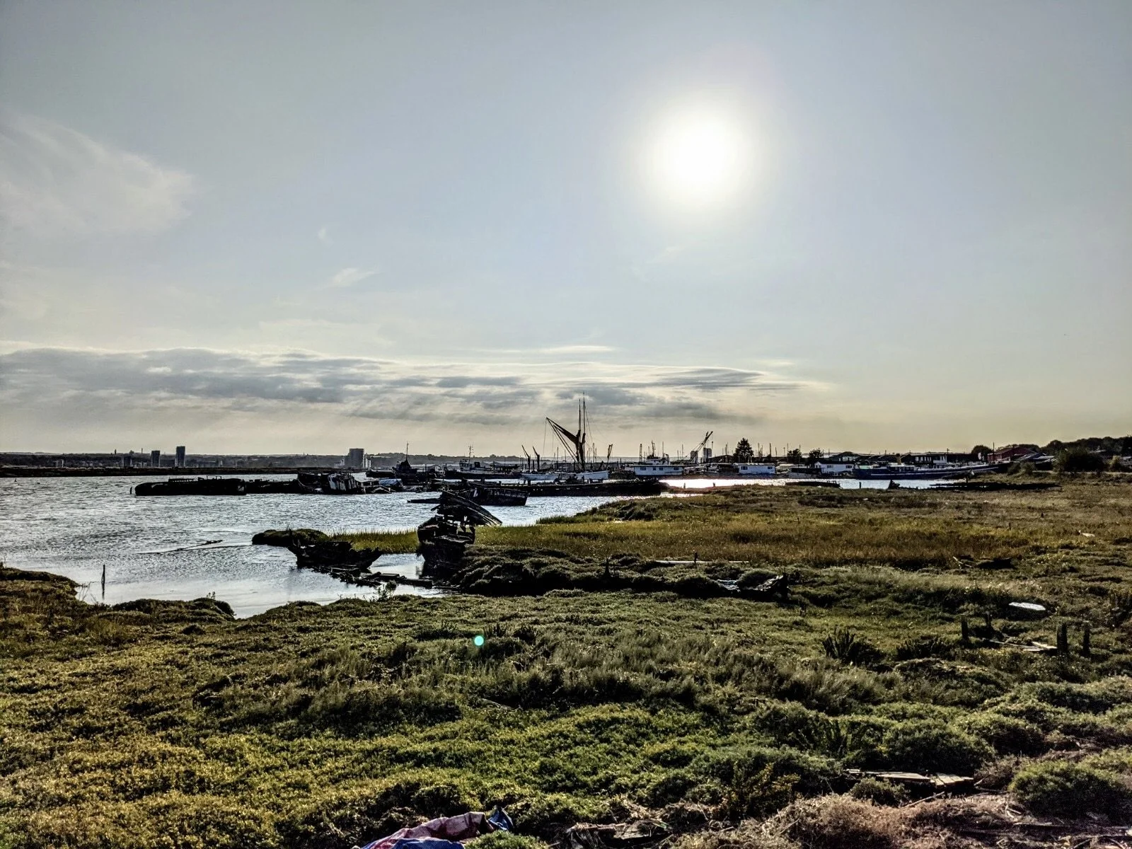
Historic docks, a ship graveyard and beautiful marshland views
#coastalwalks #brilliantbirdwatching #historicsites
Length: 9.9 miles (15.9km)
Hills: ↑ 538 feet
Route map for What, Where, Hoo by Octavia Lillywhite on plotaroute.com
-
Parking: Free, 24hr at start - Upnor Castle Parking
This little car park can get busy at weekends. There is some alternative parking in Upper Upnor, though much of it is restricted for residents. Out of the village centre there is some roadside parking, eg, off Upchat Road and near the church.
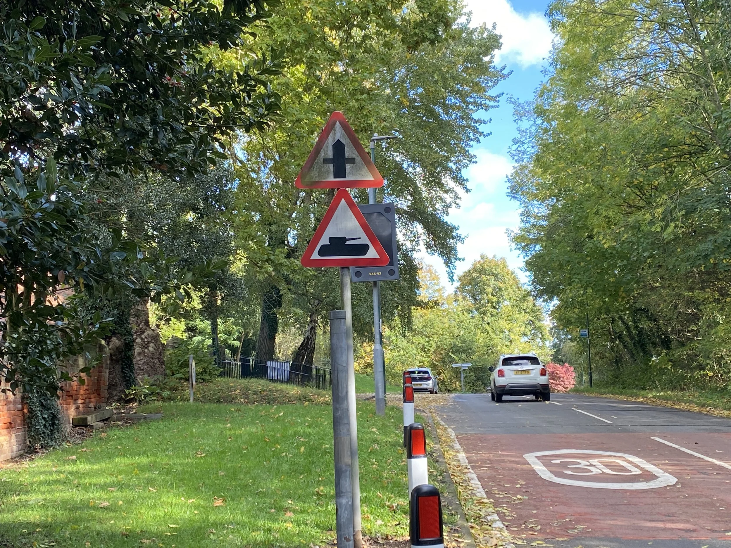
Alternatives: Hoo St Werbergh has free parking by the church, around Mile 4.
-
Tricky
Nearest station is Strood, nearly 2 miles from the start of the walk. There are local buses to Upnor Castle.
-
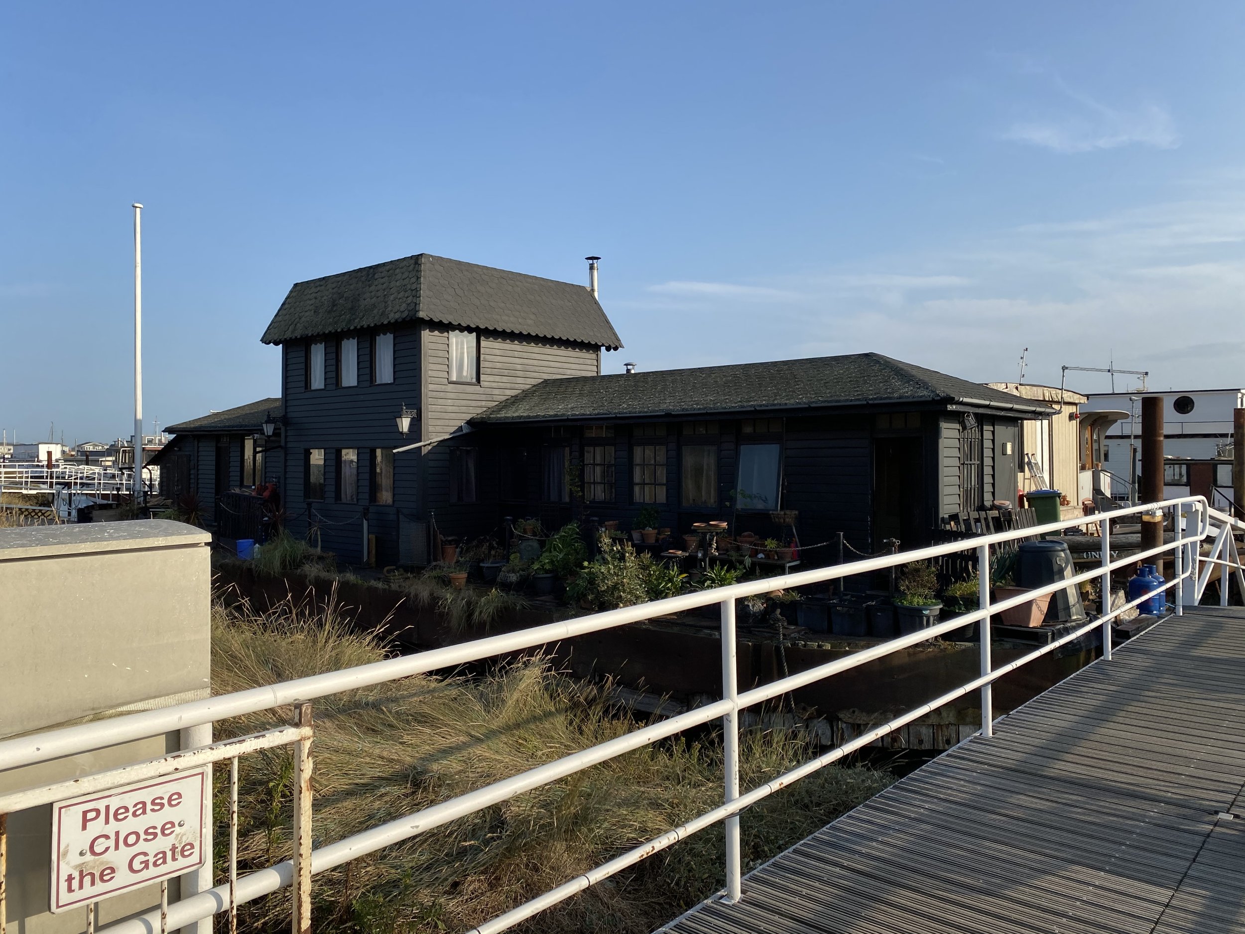
Upper Upnor (at the start/end), Hoo St Werburgh (Mile 4) and Lower Upnor (Mile 9.5) are all well served for pubs. The only shop are at Hoo, where there is a Co-op and a Spar. Beyond Hoo, there is nothing for about 5 miles, except great places to stop for a picnic.
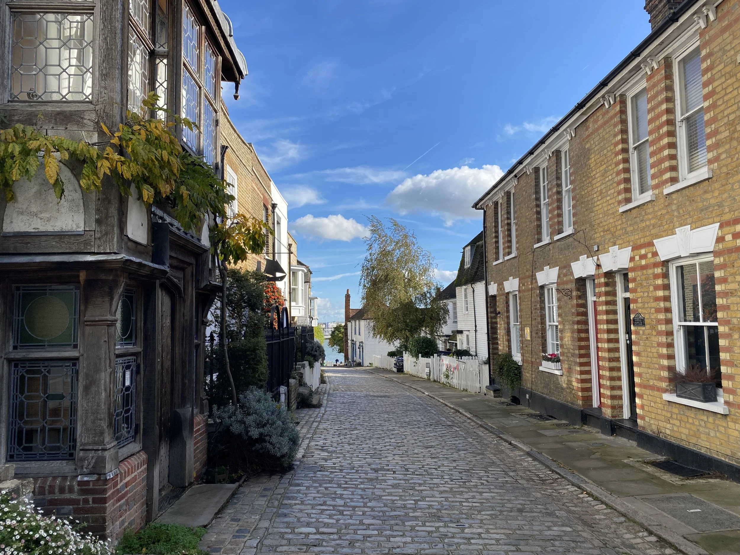
The Tudor Rose, Upper Upnor, ME2 4XG (Start/End)
Pretty, historic pub with nice food and a beer garden at the back plus some outside seating on the lovely high street.
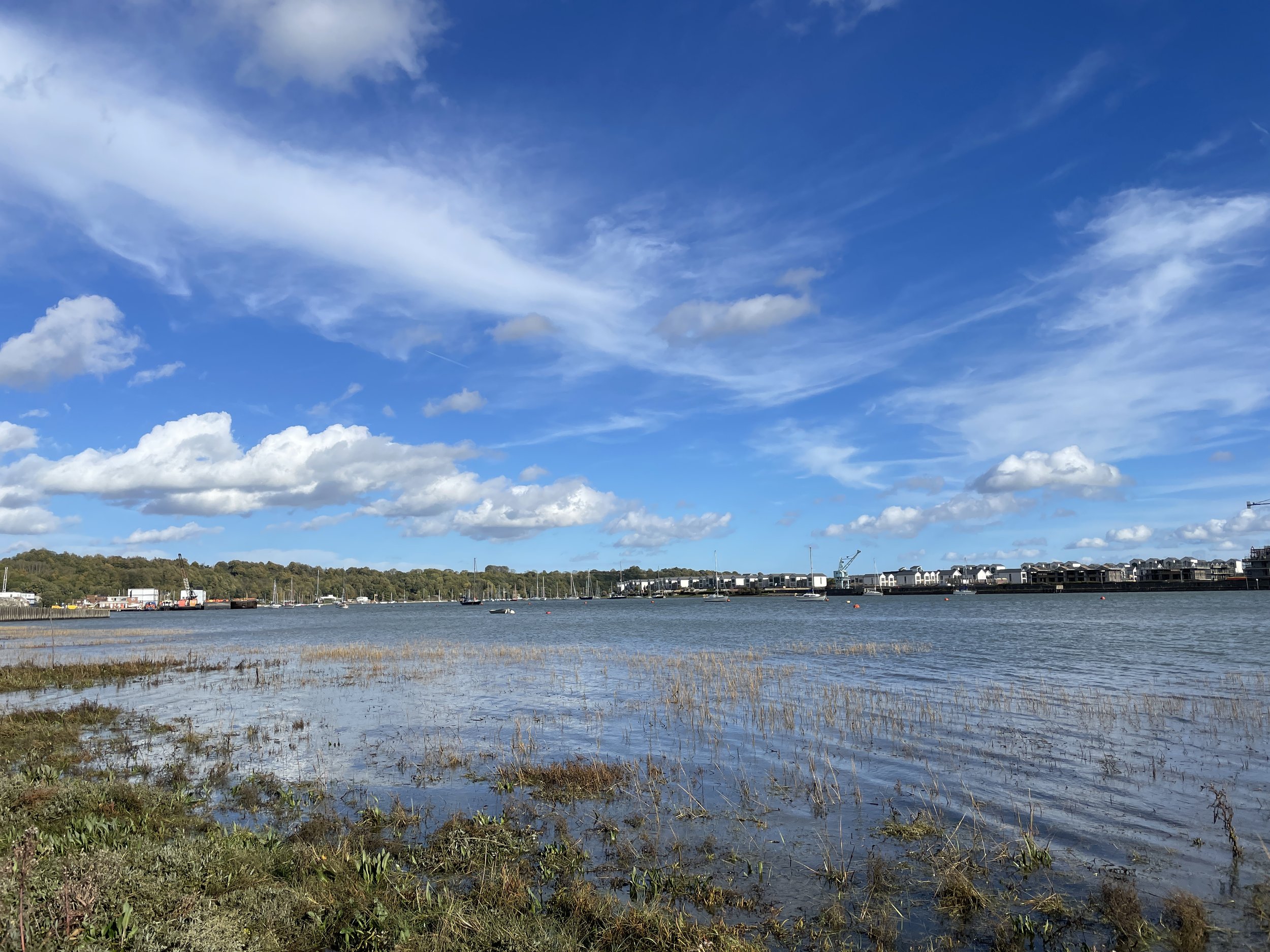
The Pier and The Ship, Lower Upnor, ME2 4XA (Mile 9.5)
Two pubs brilliantly placed right at the end of the walk, both facing out onto the Medway at one of the best viewpoints. Plenty of outside seating and both have a friendly, local vibe.
The Chequers, Hoo St Werburgh, ME3 9AL (just before Mile 4)
A small and cosy local pub that welcomes walkers, and dogs.
-
Mile 4: Co-op, Spar, newsagent and others at Hoo St Werburgh village centre.
-
The waterside section of the walk, around mile 8-9.5, is subject to tidal restrictions and impassable at high tide. You can check daily tide times at TidesChart.com. If the tides do not suit your walking times, consider reversing the route to adjust the times.
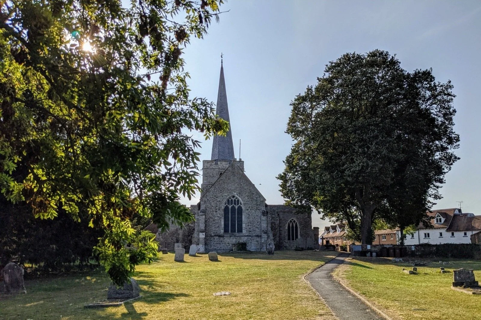
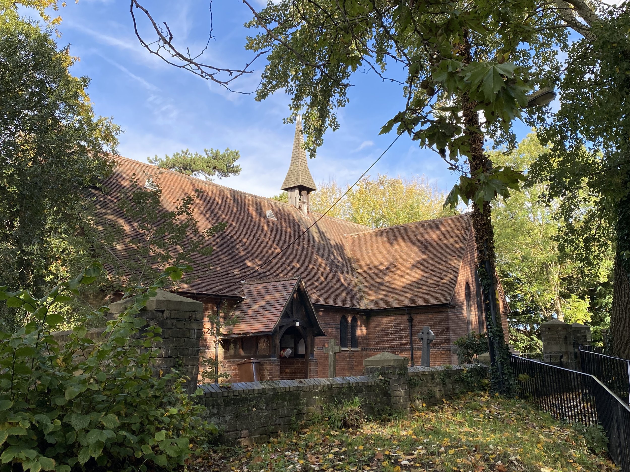
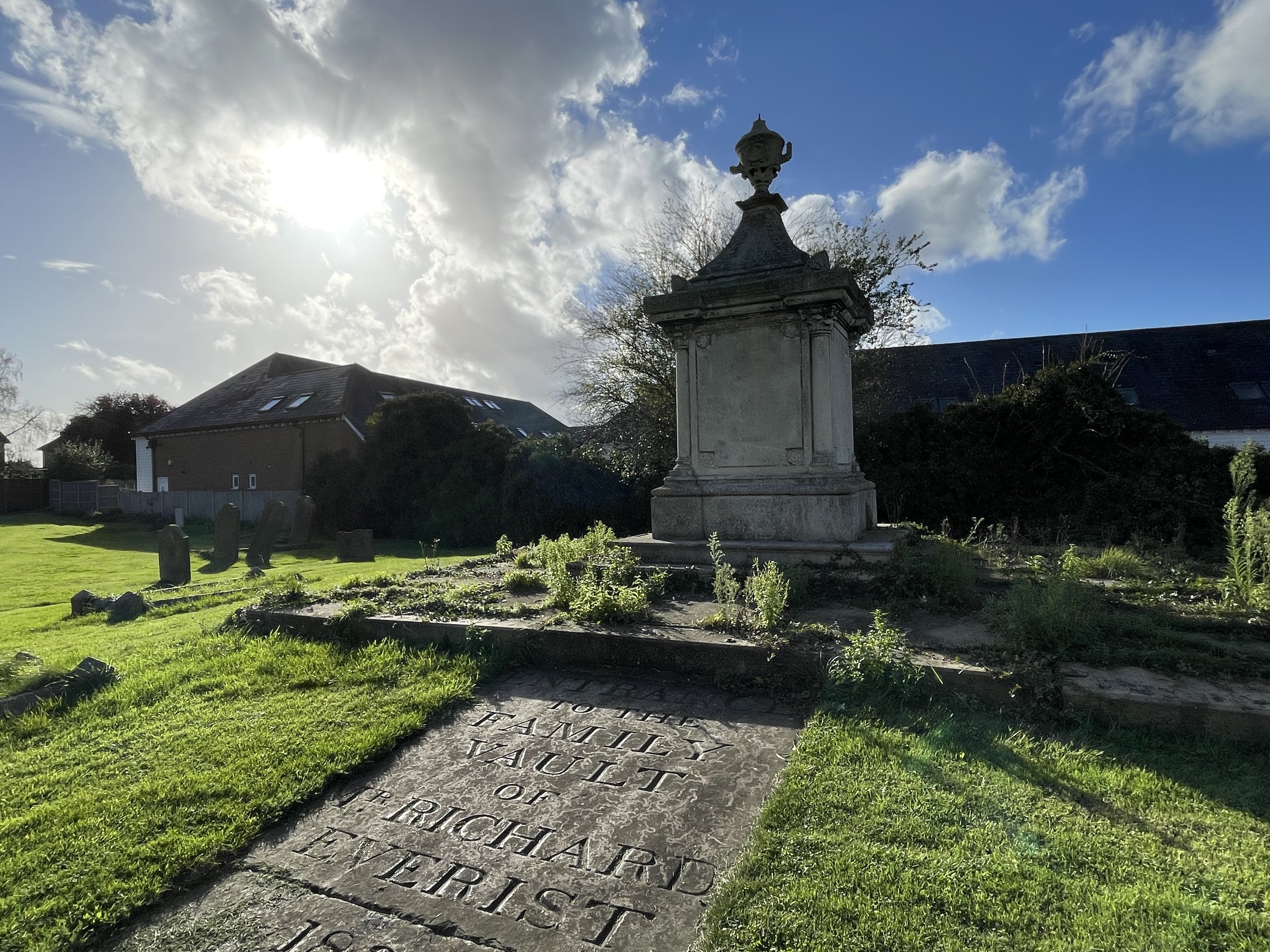
The parish church of Hoo St Werburgh, which has a veteran yew tree in the churchyard.