Cooling off

Absolute isolation on the Cooling Marshes, plus the church that inspired Charles Dickens

#coastalwalks #brilliantbirdwatching #literarylinks

Length: 10 miles (16.1km)

Hills: ↑ 436feet

  • Parking: Free, 24hr at start, roadside at Cooling Church. In summer, when the marsh walks are more popular, there is overflow parking in the field beside the church.

    Alternatives: Village parking at Cliffe and High Halstow. There is unrestricted parking on many of the roads in these villages. Outside the villages, the roads tend to be narrow with passing places, and no space for parking and permanent access required for large farming vehicles.

  • Tricky

    Nearest station is Higham, 3.6 miles from the route. There is no bus from Higham to Cliffe.

    There is a regular (though not frequent) 133 bus from near Strood Station to the Six Bells pub at Cliffe (20 mins)

    Though marked on some maps, Cliffe station is obsolete, and the railway line here carries freight only.

  • The pub at Cooling, which you pass just yards before the end of the walk, couldn’t be a more appealing prospect. There are other friendly locals at Cliffe and High Halstow (the latter is a short detour from the route).

    The Horseshoe & Castle, Cooling, ME3 8DJ. (Start/End)

    Saved from closure by the locals, this pub is also a 4* B&B if you want to stay longer. Great food, very nice to random walkers, cyclists and dogs. Worth making a focal point for this walk.

    The Six Bells, Cliffe, ME3 7QD (Mile 1.5)

    The Red Dog, High Halstow, ME3 8SF (Off-route at Mile 8)

  • There are no shops on the route.

    There are small convenience stores off the route in Cliffe (around Mile 1.5) and High Halstow (around Mile 8).

  • Cooling Marshes are remote, isolated and exposed. The weather can change quickly and leave you feeling disorientated. In hot weather, note there is no shade for several miles. There are no houses for 5-6 miles after you leave the village of Cliffe and you are unlikely to see other people.

Cooling marshes with the sun breaking through, at the confluence of two of the fleets

Confluence of two fleets on Cooling Marshes

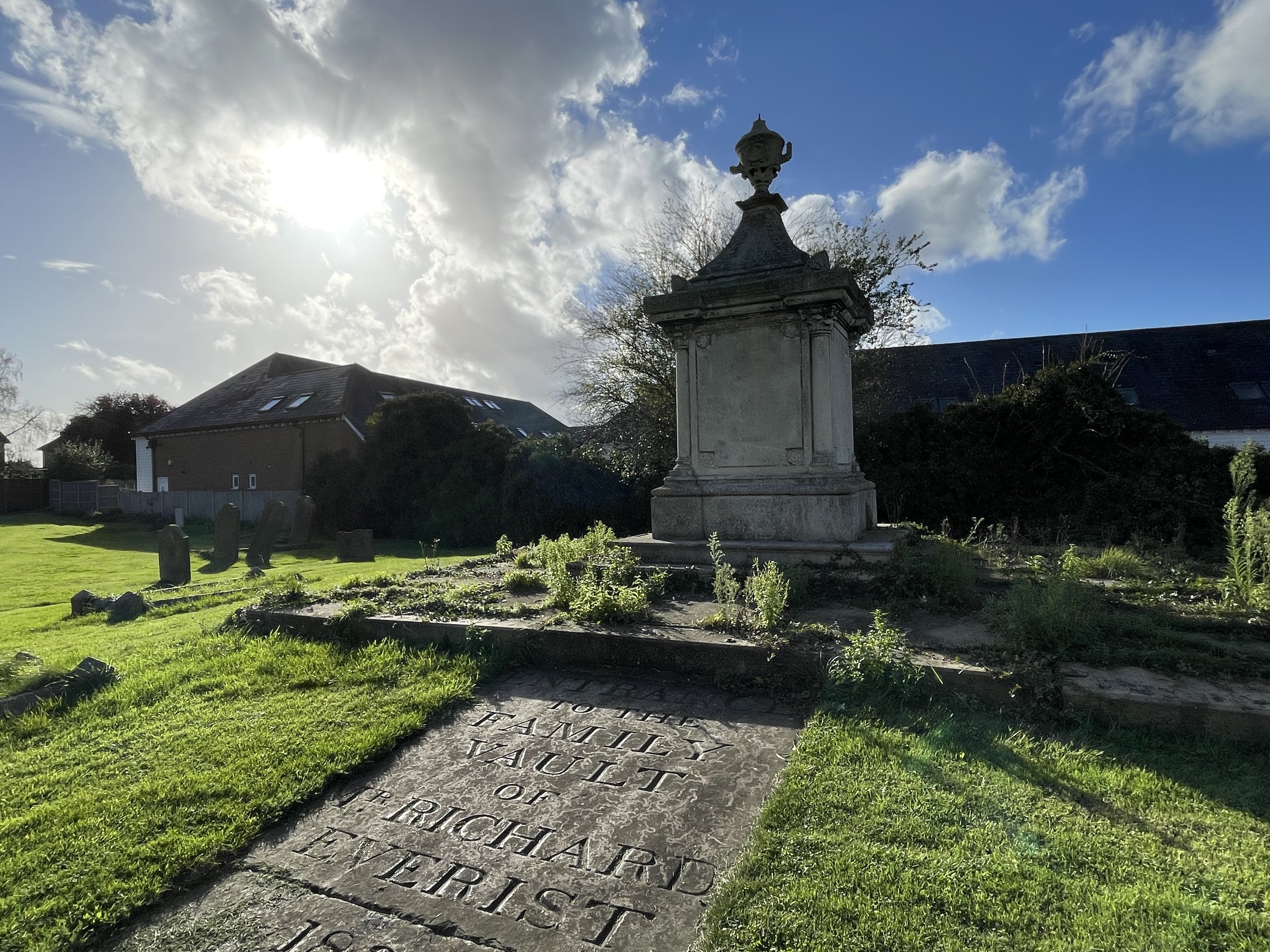
The old church at Cooling stands on slightly raised ground. It couldn't be described as a hill, even for these flat lands, but still from the graveyard I can see out to the marshes. The distant cranes of the London Gateway port mar the north horizon, but otherwise this ancient landscape doesn’t feel so very different from what Charles Dickens saw as he wandered this churchyard, plotting the opening chapter of Great Expectations.

This is the church where Pip, his face stained with tears for his late ma and pa and the five little stone lozenges that represent his brothers, met Magwitch, recently escaped from the prison hulks that moored in The Medway to the south. There’s actually 13 stone lozenges around the double gravestone - maybe eight of them came after Dickens, or maybe Pip’s lot was precarious enough without a baker’s dozen of deceased siblings to compound things.

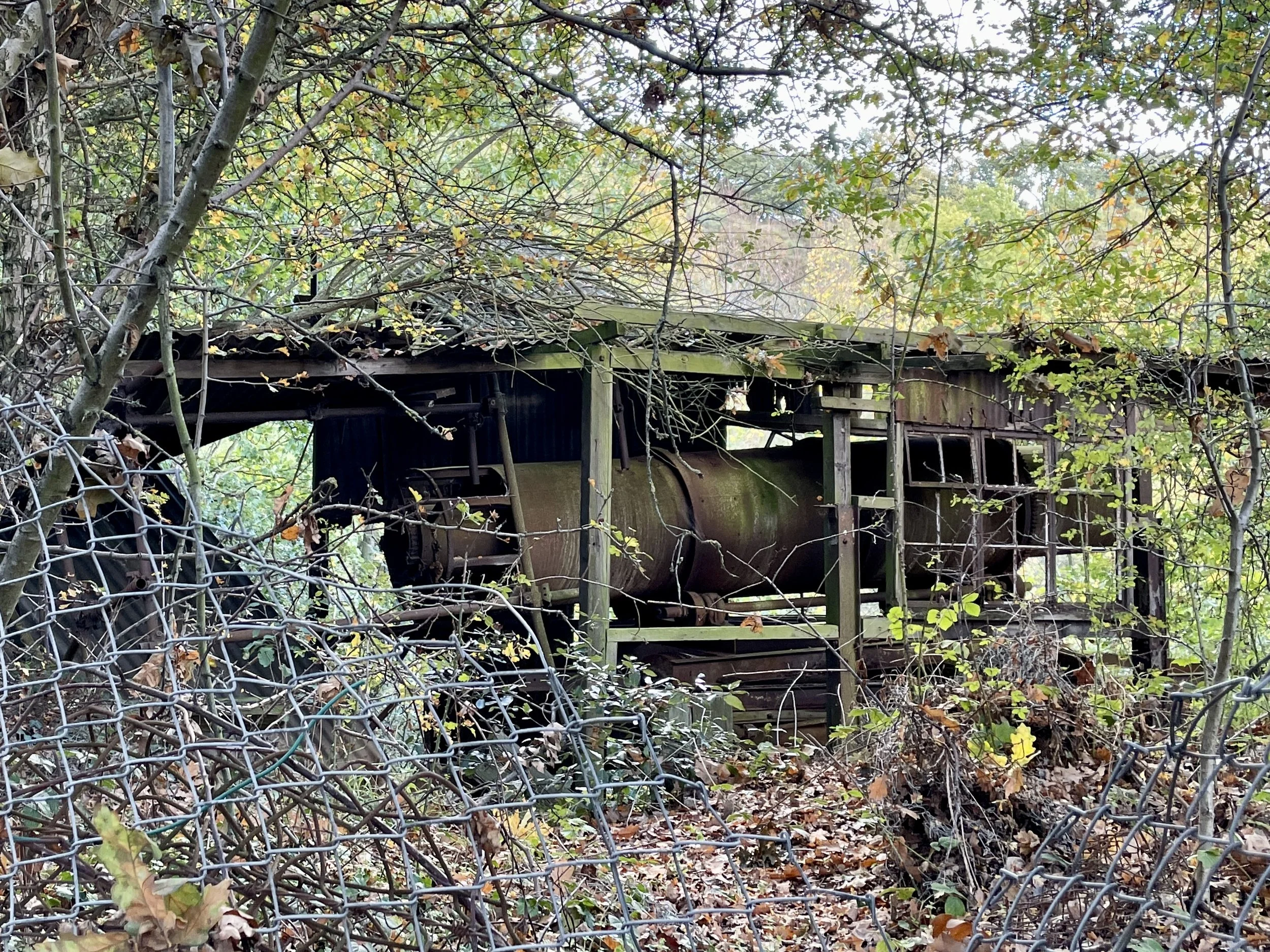
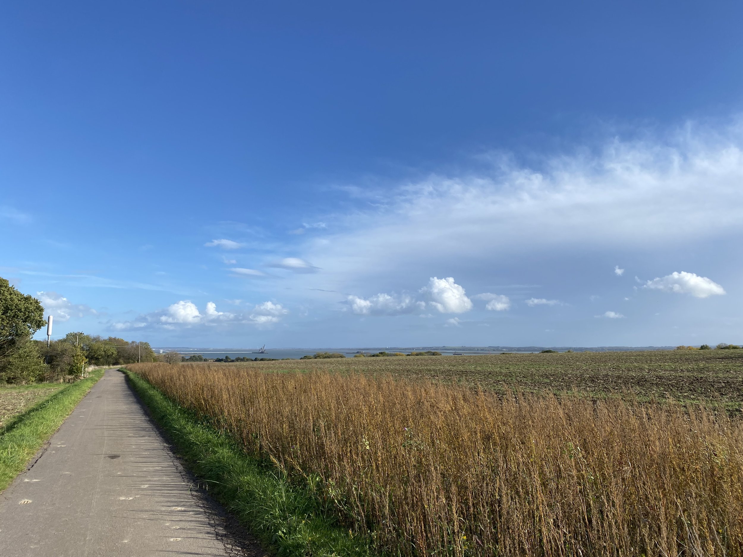
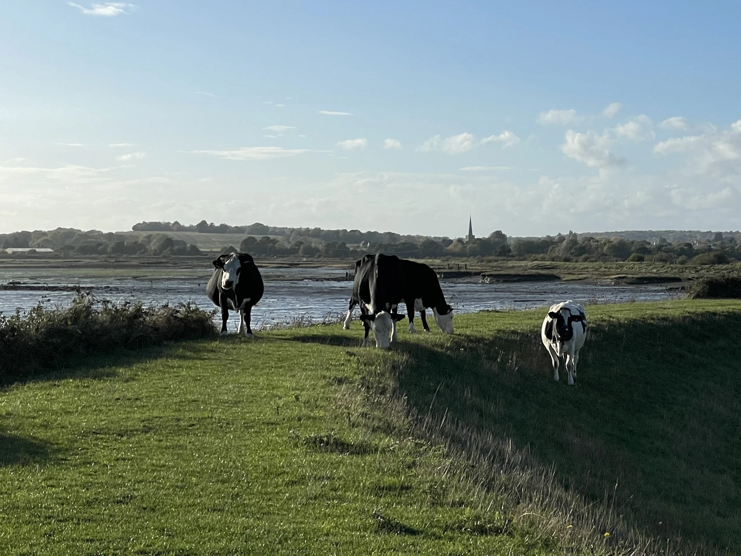
In the fields beyond, the cherries have long since been harvested and the trees left to winter, but the trappings of the working farm are still visible. There’s a bumblebee hive recessed into the hedge, and the haystack piled as high as a barn. 

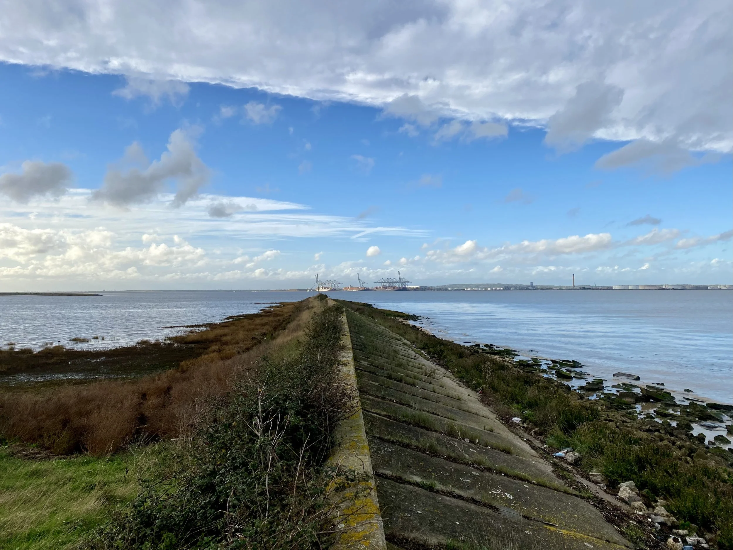
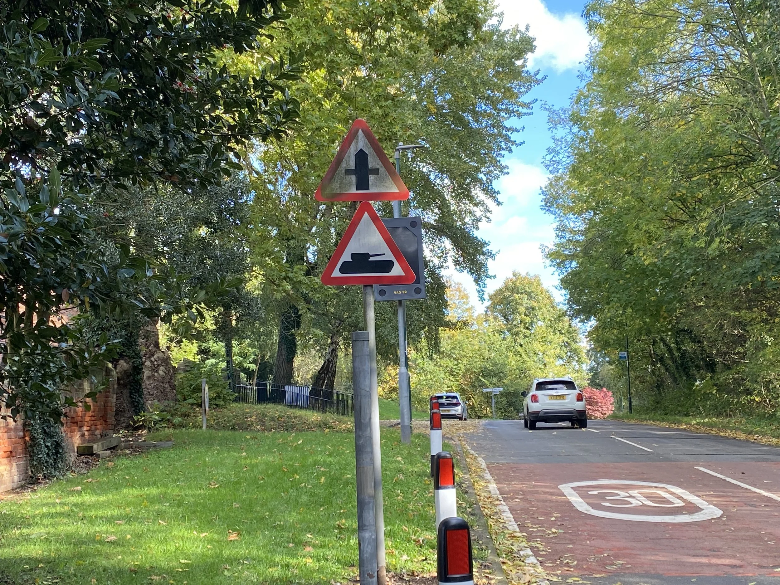
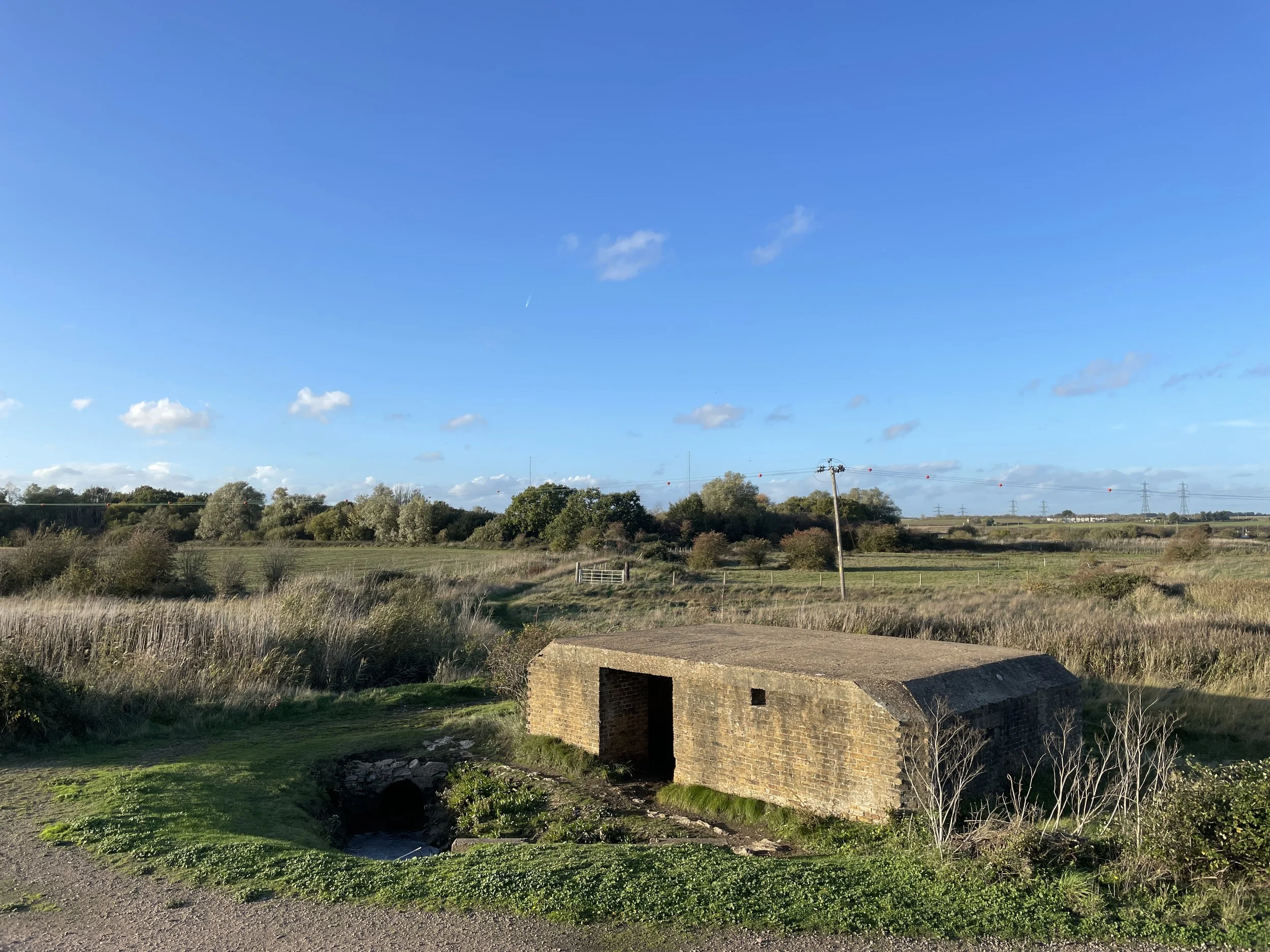
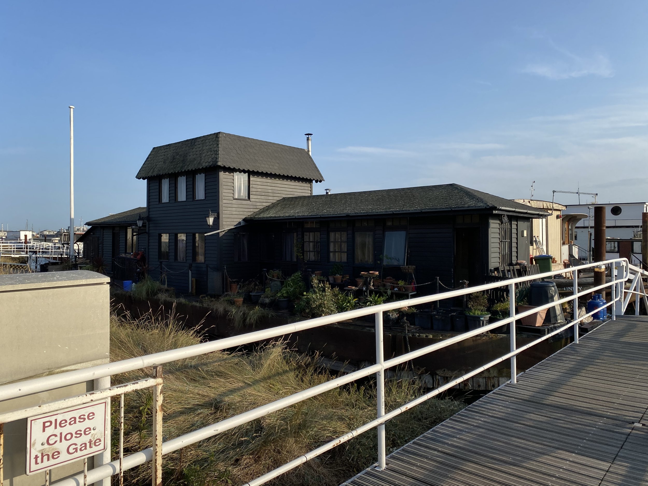
Cliffe is a village notable for its lack of anything approaching a cliff. Beautiful, old clapboard houses abutt newer 1960s council homes and it’s quiet, with a bit of an end-of-the-world feel. And as we take the unassuming footpath from Wharf Lane, the world does indeed end.

This is one of those places that is difficult to believe exists so close to the capital. It has the feel of the Norfolk Broads, or something even more remote. It was used during the filming of Full Metal Jacket to represent Vietnamese paddy fields. 

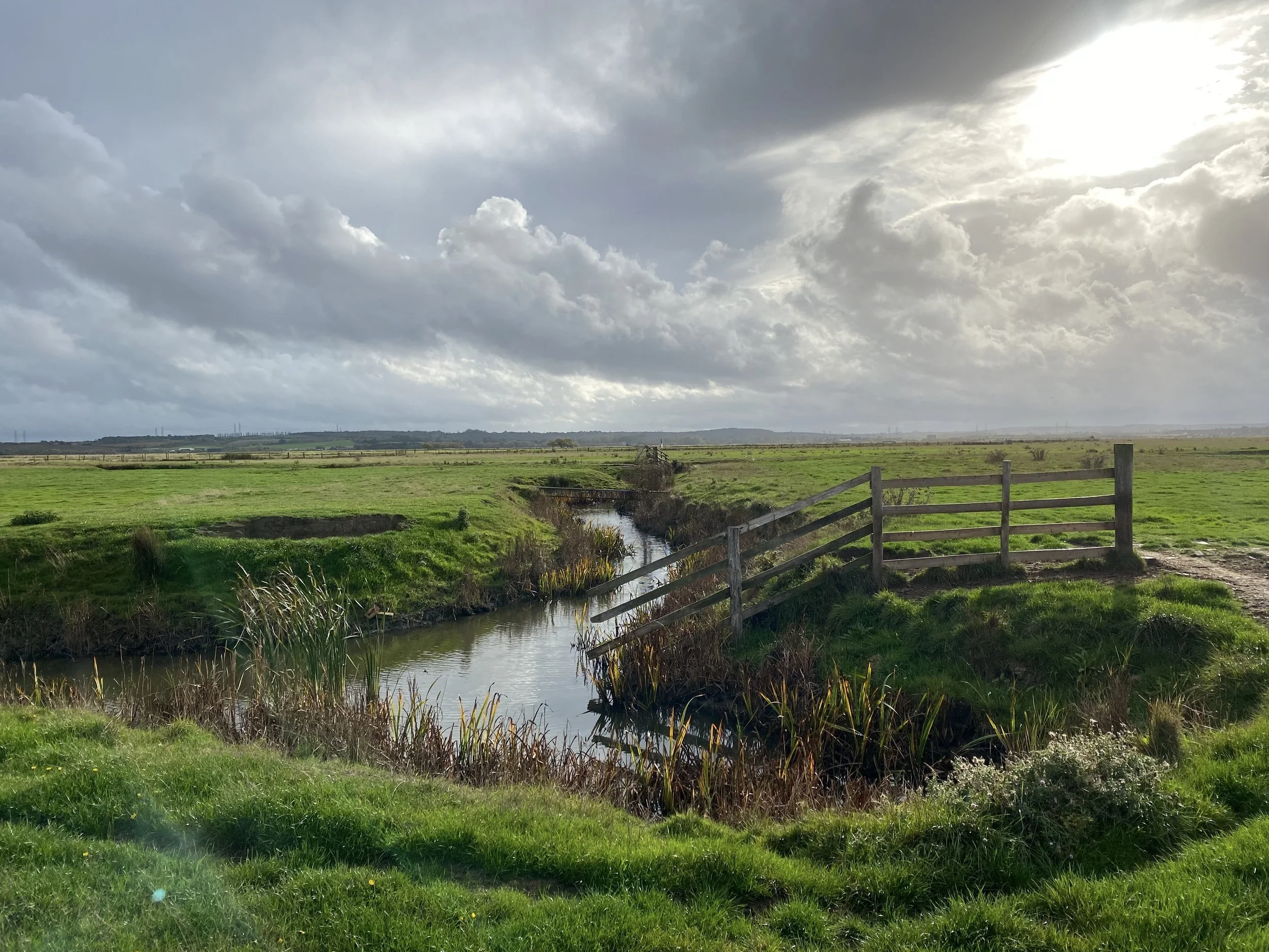
Following the course of the fleet out into the wilderness, we startle a heron, who blusters up into the leaden sky to find a quieter patch to fish upstream. In the distance, I see a marsh harrier gliding along the parallel fleet, marking out the next crossing. Between me and the harrier, sheep look up in surprise, but the piebald horses continue to much the grass undisturbed.

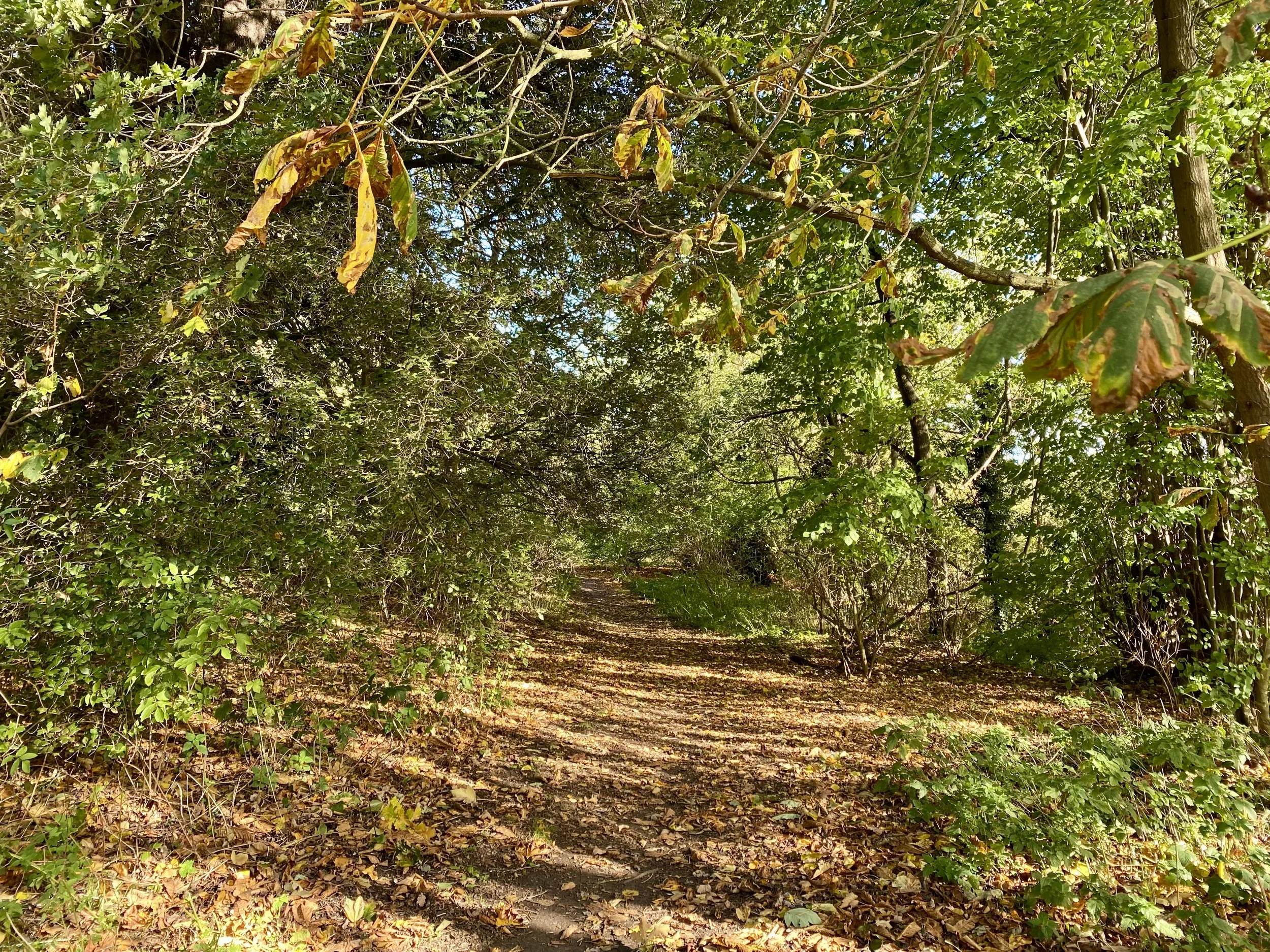
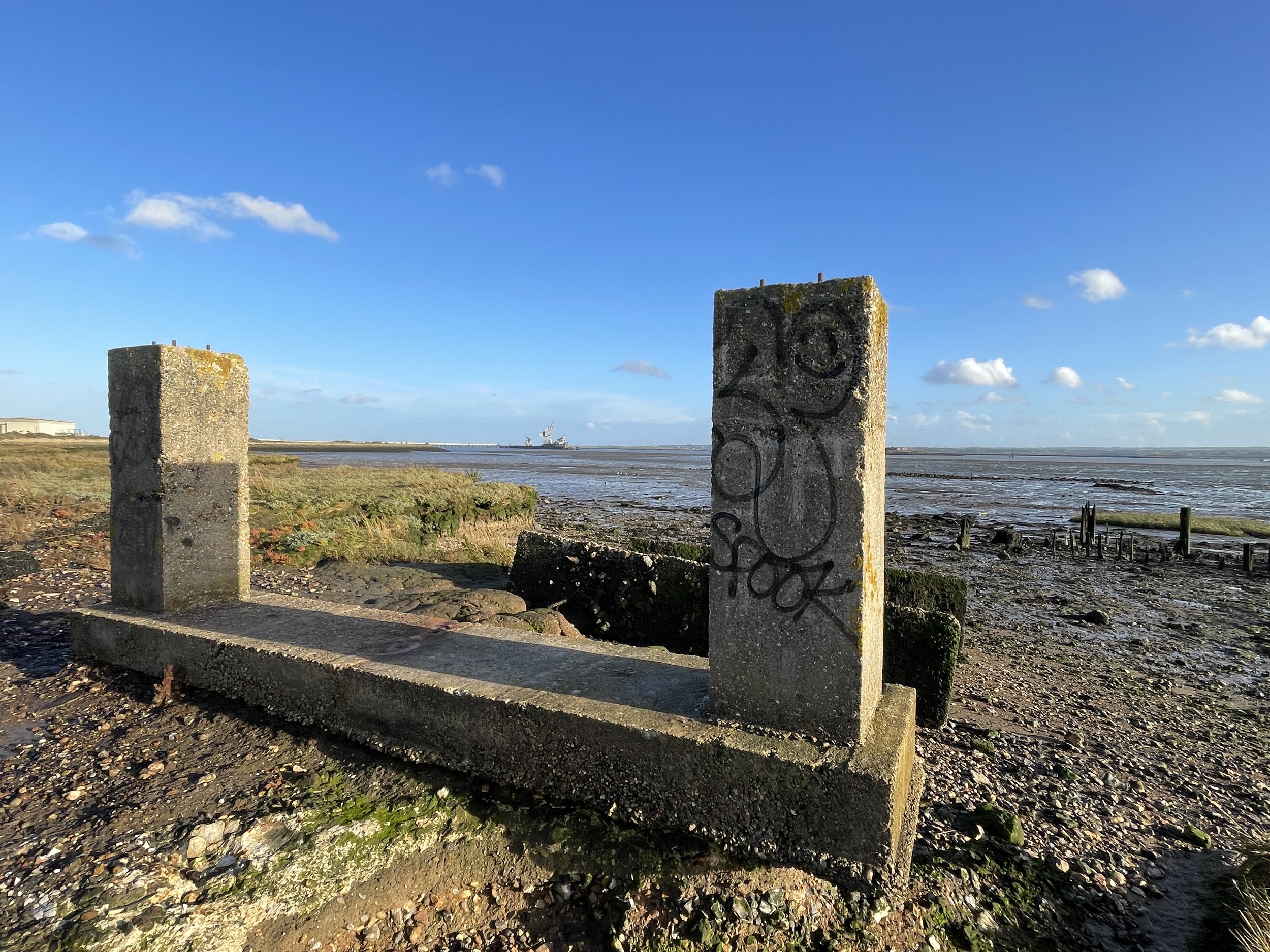
The path is indistinct - it’s easy to take a wrong turn and find yourself hemmed in by ditches. Some gateways are barred with cross signs about private land and prosecution (which seems a little harsh in such a remote place), but there is a way through, across the smart little wooden bridges and the reed-filled fleets.

A sapphire kingfisher glitters out from the last bridge as we approach the cow barn at the edge of the marsh. There’s a levy up to the salt fleets beyond, with a slipway down to the water - a great place to pause and look for


What to see on the route:

  1. St James’ Church, Cooling

The church that inspired Charles Dickens would have been ancient even to him. It’s 13th Century, the top of the tower added in the 14th. Since 1976 it’s been redundant, now in the care of the Church Conservation Trust, so you should find it open. You can even champ there (camp in the church), in case you’re looking for a place to stay. Look out for the blocked up north door, which still has the timber door on the inside. Inside the vestry, the walls are decorated with cockle shells - the symbol of St James - and there’s also a shell on the weather vane. 

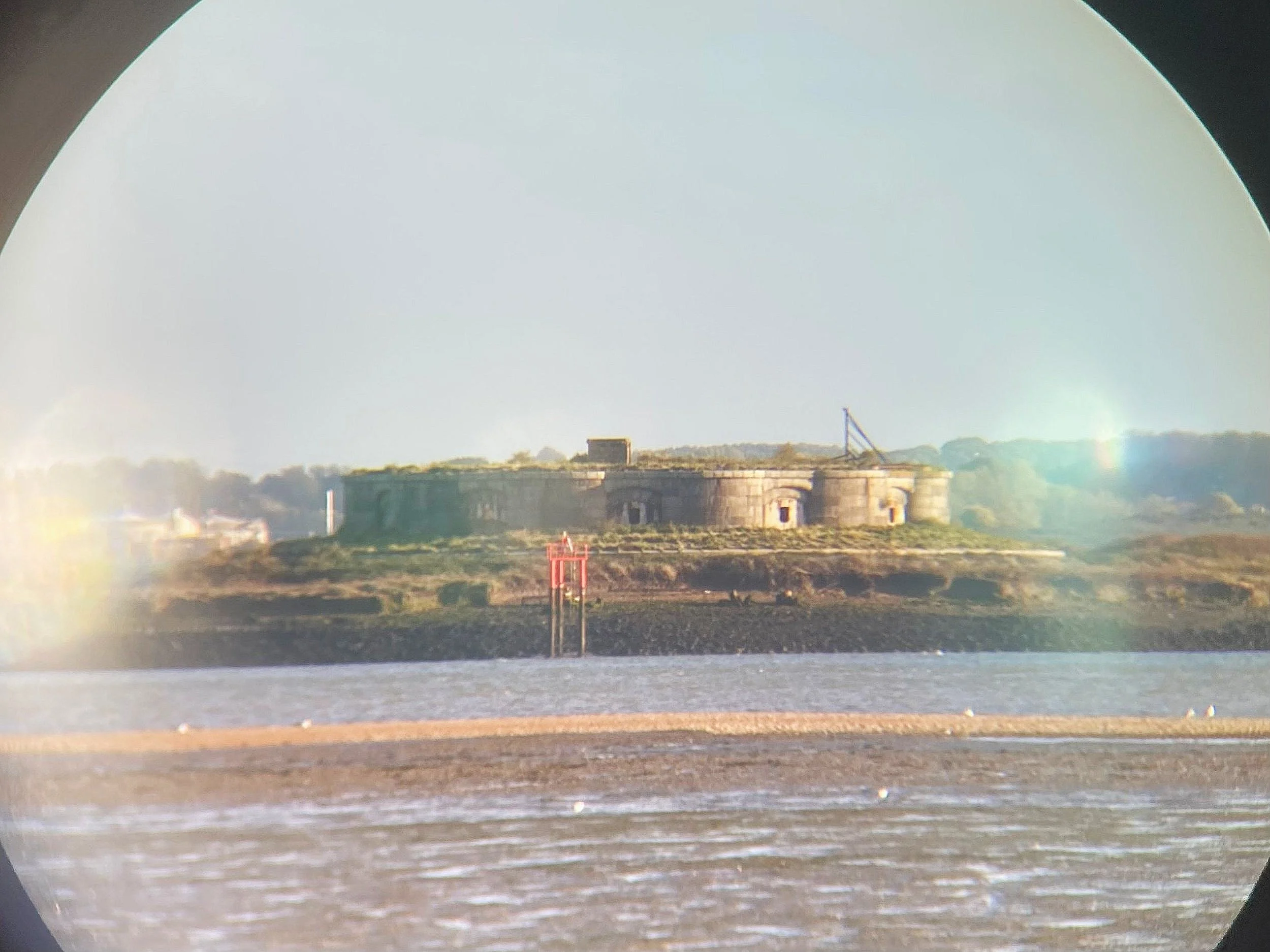
  1. Cooling Castle Gatehouse and remains

Built a little later than the church, in the 1380s, to defend this stretch of coastline from French invasions. Originally it was on the river bank. Now, due to land reclamation, it’s nearly two miles inland. You can’t visit the castle because it’s on private property (it’s owned by musician Jools Holland), but you can see the impressive gatehouse and some of the towers from the road. It’s marked with a plaque which translates to:


Know [those] that are [living] and shall be [living]

That I am made to help the country

In knowing of which thing

This is [a] charter and witnessing.

Which was probably to reassure the locals that it was a defensive castle, not one built to oppress them.

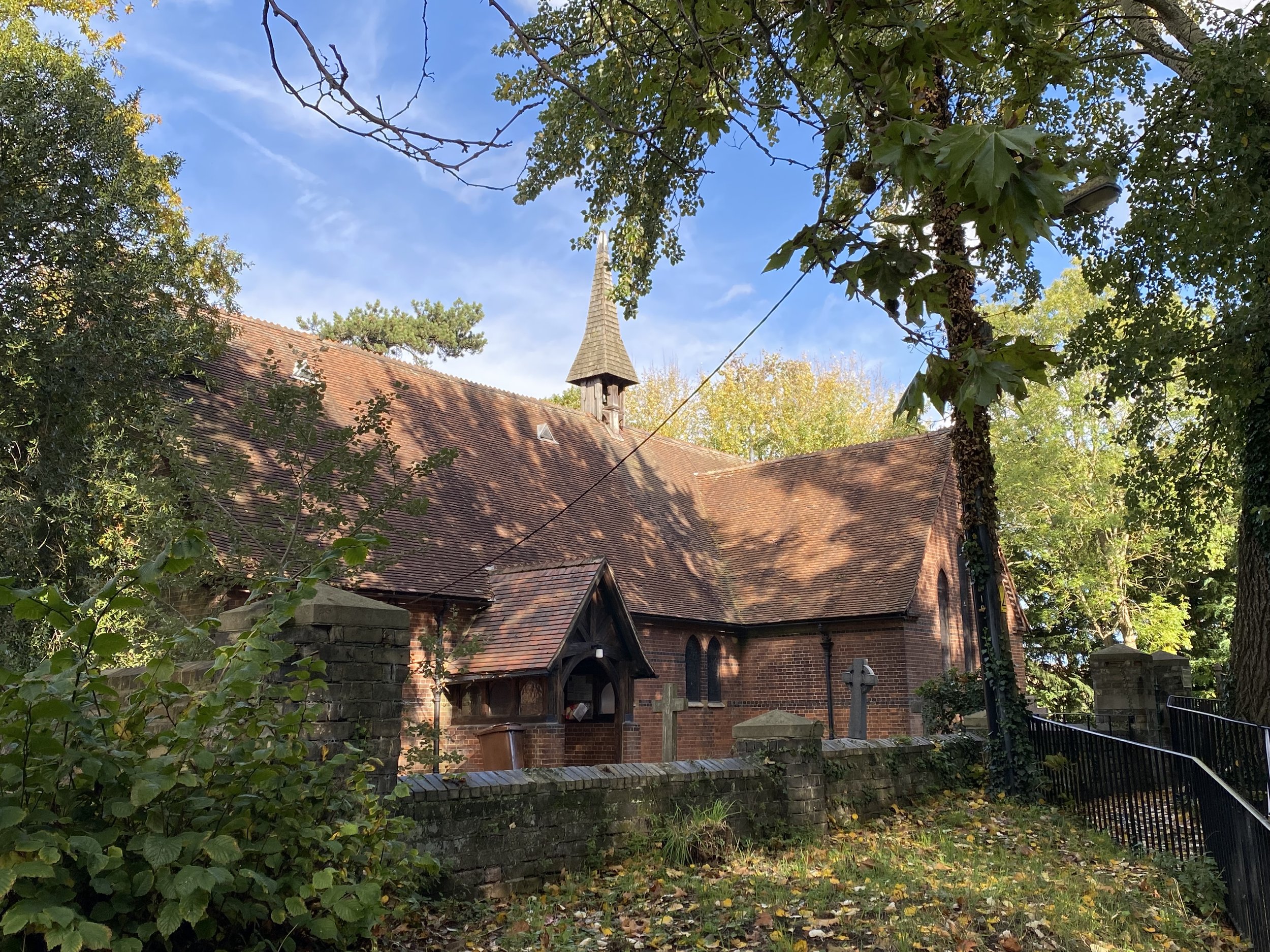
  1. St Helen’s Church, Cliffe

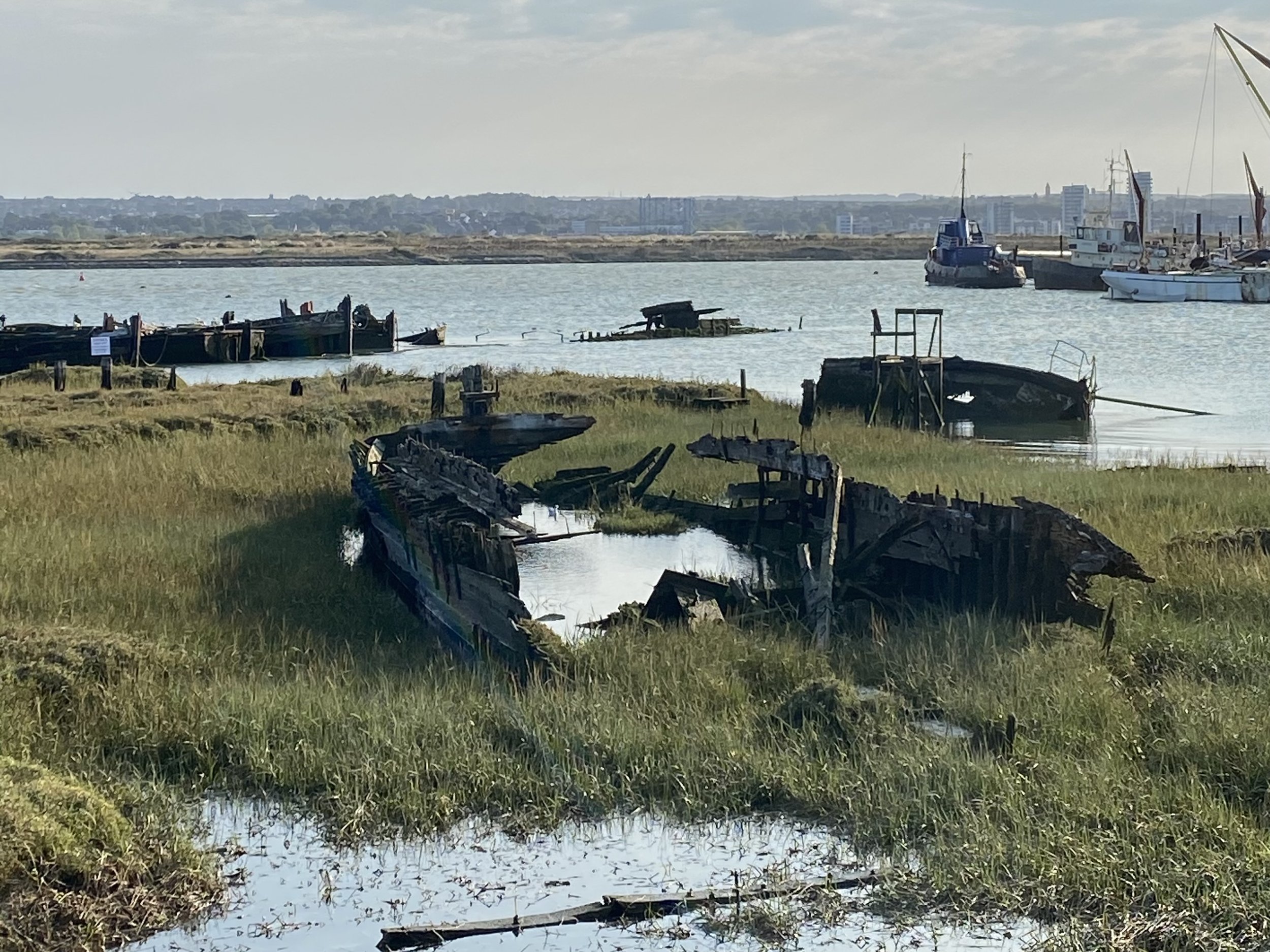
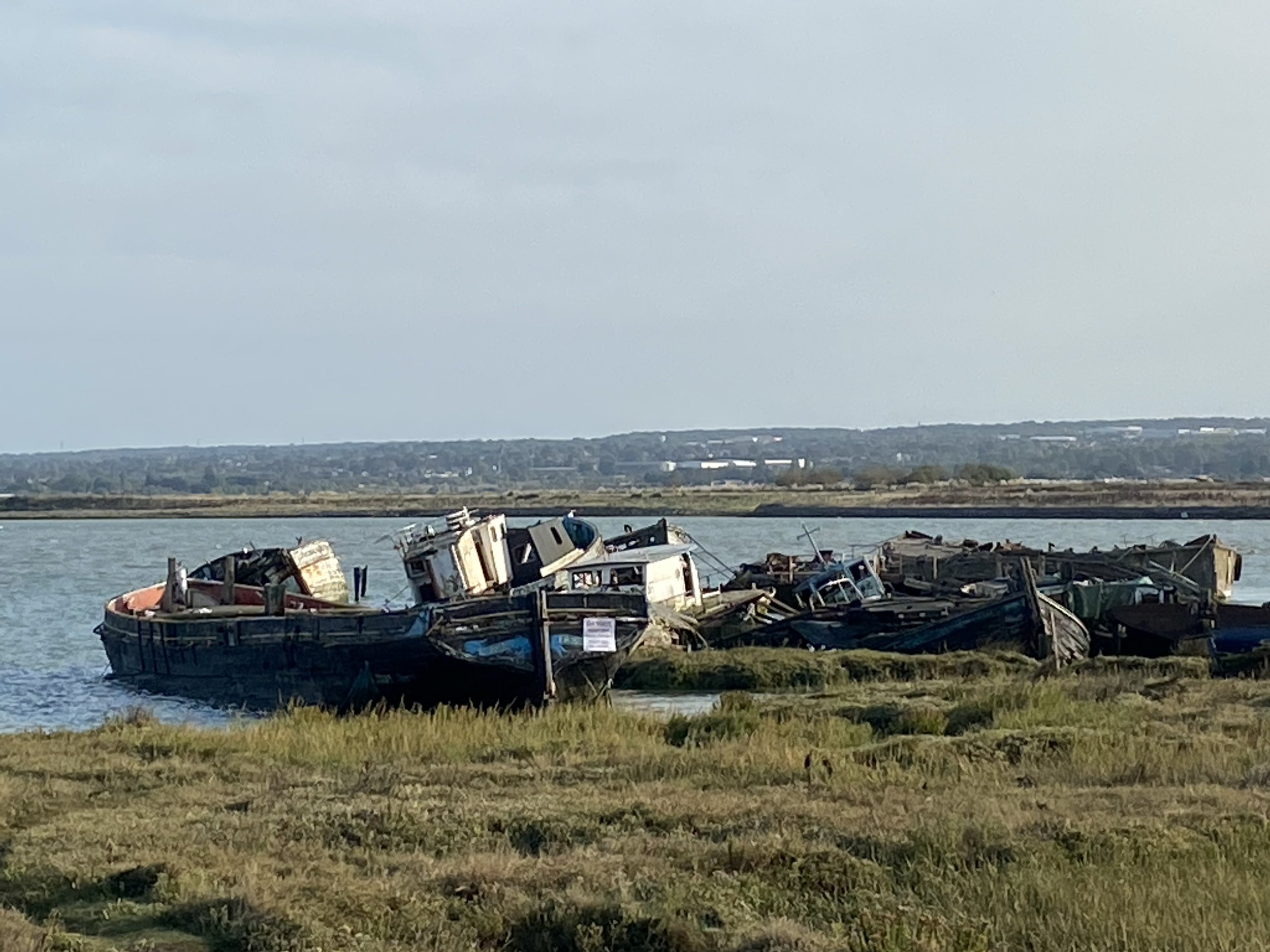
One of the biggest parish churches in Kent because this sleepy village used to be so important. In the past Cliffe has had a port, a railway and even a canal. In the corner of the churchyard is the Chanel House where bodies dragged from the Thames Estuary used to be stored.

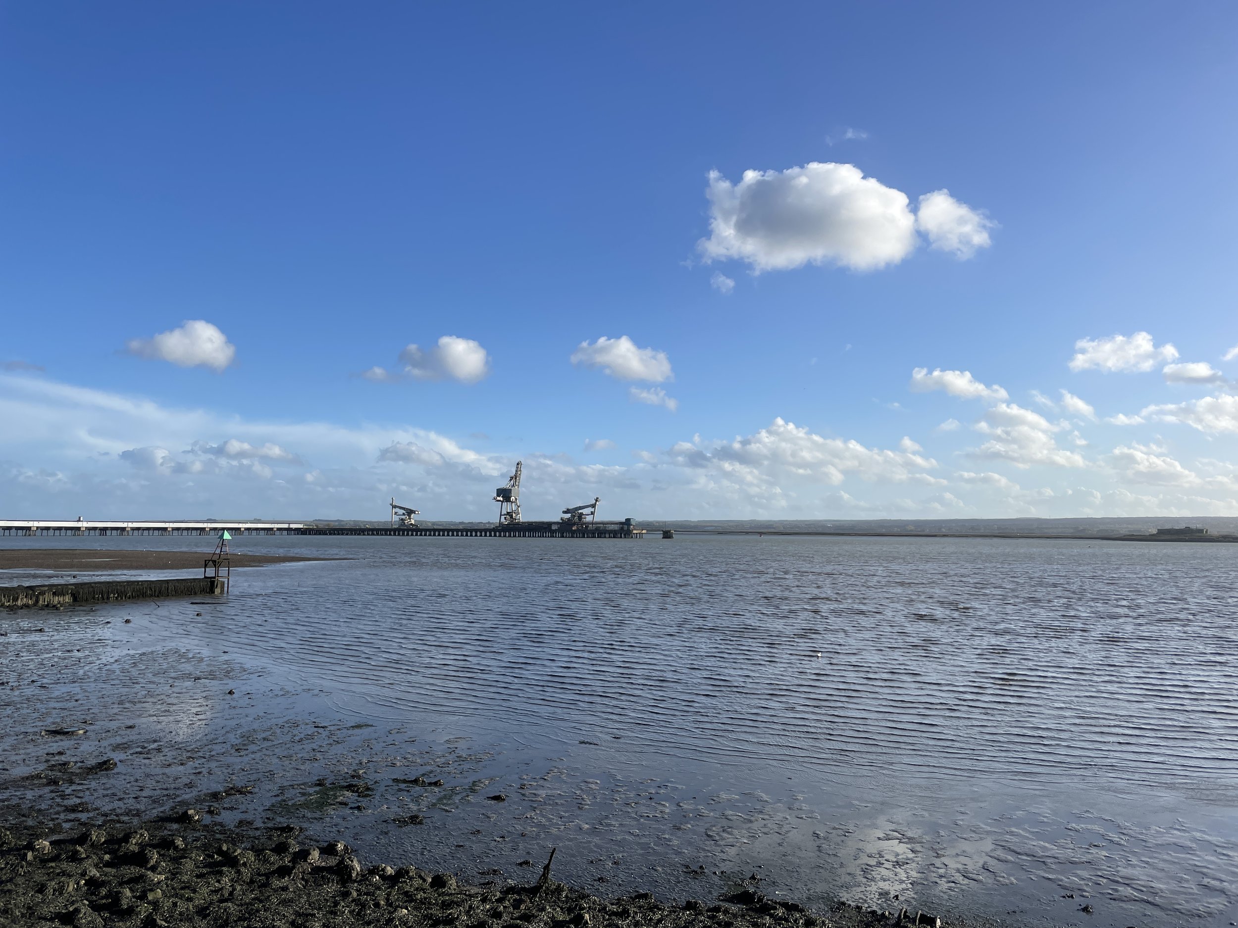
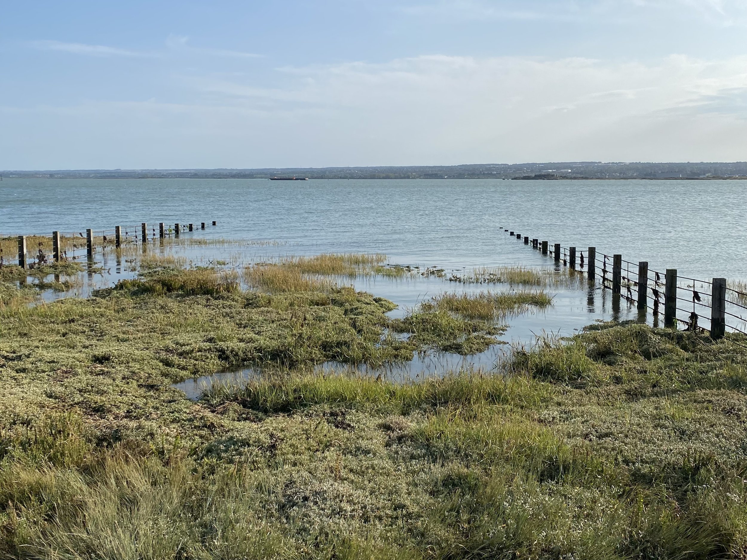
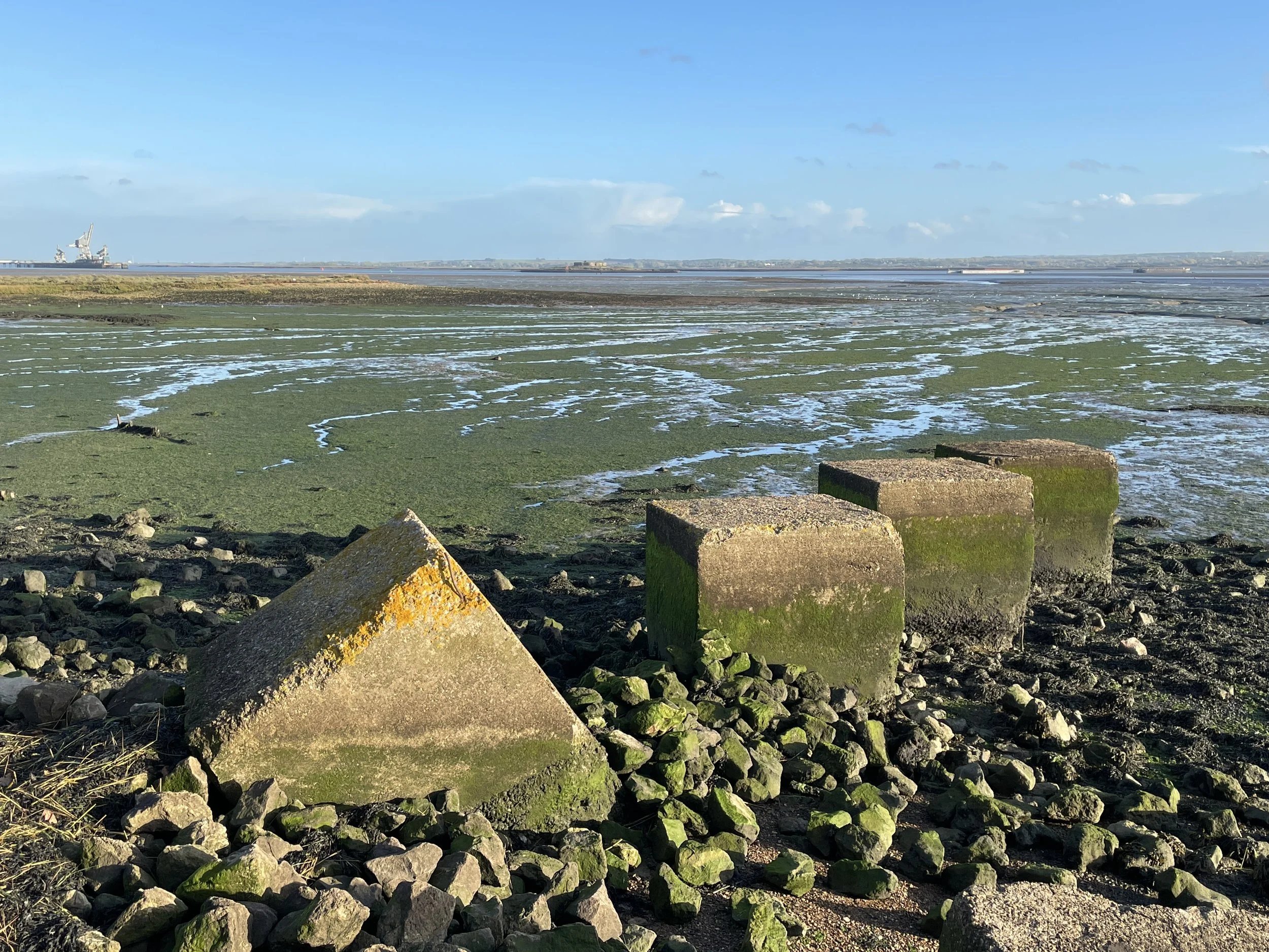
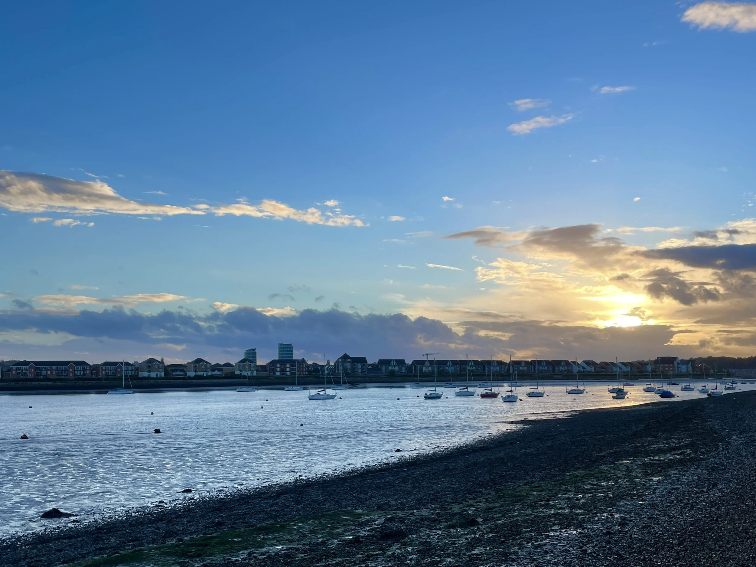
  1. Salt Fleet Flats Nature Reserve

This intertidal mudflats nature reserve was created in 2016 and an environmental offset site to compensate for habitat lost to the London Gateway Port opposite. It’s a great place to sit and watch birds dancing in flocks above.

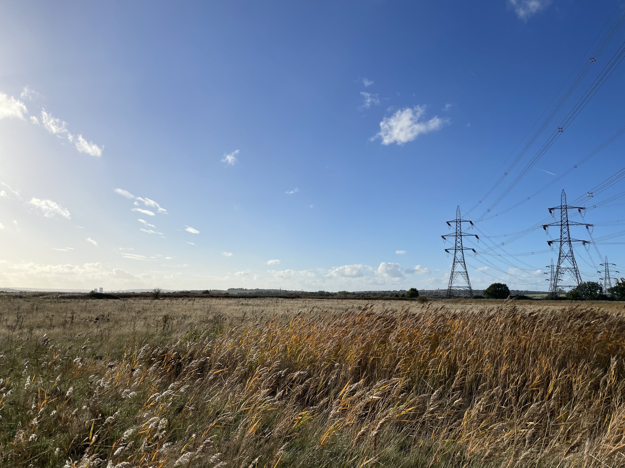
  1. RSPB Northward Hills Nature Reserve

As the land rises along what was once the coastline here, much of the land is managed by the RSPB, with viewpoints and bird hides at intervals. Marsh harriers, grey herons and lapwings are common, in April/May you can hear nightingales and towards dusk there are short eared owls.

Photo Gallery

“It took me a while to fall in love with the Hoo peninsula. The first time I visited I thought it was bleak and desolate, abused by centuries of human exploitation. But it’s actually a wildlife haven with an incredible history. Though pockets are blighted by grand industry, there are swathes of tranquility and natural beauty. As sites are used and abandoned, nature creeps quietly back over them, as inevitable as the tides, and there is a rough, derelict appeal.”

What to see on the route

  1. Upnor Castle

    Built in 1559 on the orders of Queen Elizabeth I, Upnor Castle faces grandly onto the Medway, making it tricky to see from this side of the river, but you do catch glimpses of it now and then. It was a key defensive point, until it was breached by the Dutch fleet in 1667, in what has been called the worst naval defeat England has ever sustained. Across the water lies St Mary’s Island. During the Napoleonic Wars, prison hulks for the French prisoners were docked in the river here. Disease was rife and the soldiers who died were buried on the island. Now it’s all fancy riverside properties.

  2. St Philip & St James CofE Church

    This brick church was built in 1884 has remained virtually unaltered. It’s still in use today. It has a plaque in remembrance of two brothers who died travelling into the Congo with Henry Morton Stanley - the man most famous for saying ‘Doctor Livingstone, I presume?’.

  3. St Werburgh Church and Veteren Yew

    This 12th/13th century church towers over the flat landscape for miles, especially now it no longer has to compete with the chimney from the Kingsnorth Power station (see below). St Werburgh was an Anglo-Saxon princess, daughter of King Wulfhere of Mercia. She founded a nearby nunnery, though nothing remains of it now. In the churchyard is a veteran yew tree - probably 800 or 900 years old, just like the church. In 2003 the village hit the headlines when the 600-year-old body of a teenage girl was discovered, buried under a holly tree in unconsecrated ground. She had been decapitated - a sign that she had probably be tried as a witch and executed. In 2007 “Holly” was given a proper burial in the churchyard. Hundreds of people attended the service.

  4. Kingsnorth Power Station (site of)

    Opened in 1970 and decommissioned in 2012, Kingsnorth was the fifth biggest polluter in the UK, and the site of more than its fair share of protests. In 2007, six Greenpeace protestors broke in to the site, climbed the 200m high concrete chimney and wrote ‘Gordon Bin It’ down the side, in protest of plans to replace the ageing power station with a new coal-fired one (in fact, they only got as far as ‘Gordon’). Charged with property damage, the Kingsnorth Six argued in court that they were in fact attempting to prevent property damage as a result of climate change, and were acquitted in a landmark ruling. Plans for the proposed replacement power station - which would have ten times as much pollution as the whole of Rwanda each year - were scrapped. The site was demolished between 2014 and 2018 using controlled explosions. You can still see the huge pier where the coal ships arrived. There are plans to redevelop the land for commercial and energy use.

  5. The Medway marshes and forts

    The marshy coastline around here is an area of internationally important birdlife, including plovers, redshanks, avocets and shelducks. You can find more about what species are spotted when on the Ramsar Information Sheet which you can download here. Look out for Darnet Fort and Hoo Fort, out on the salt marsh islands in the estuary. Both were built in the 1870s as defensive points, and used for observation during WWII. Closer up, you can explore the pill box, ammunitions store and bunker busters left over from World War II. The latter were anti-tank measures to frustrate a possible Nazi invasion.

  6. Hoo Boat Graveyard

    Just before the marina, there is a cluster of about 30 abandoned boats and barges, quietly decomposing into the silts of the marshes. Most of them were large barges for transporting concrete up the river, but among them is the wreck of the Ena. It was one of the hero ‘little ships’ used in Operation Dynamo for the evacuation of Dunkirk in 1940, bringing back over 100 soldiers from the beaches.

  7. Cockham Wood Fort

    Not a wooden fort, but one named after Cockham Wood. It was build in 1669, after the Dutch attack on Upnor Castle proved the weaknesses of the river defences. Not much remains but the gradiented red bricks of the lower battery, which look incredible in evening sunlight. When we visited there was a huge beehive built into the sand ridge just beyond the fort, and a makeshift swing tied to a tree just beyond, which was lots of fun.